What is redistricting, and how does it work?
Redistricting is the redrawing of election district lines after the census. Here is who draws the lines, the one-person-one-vote rule, and why it matters.
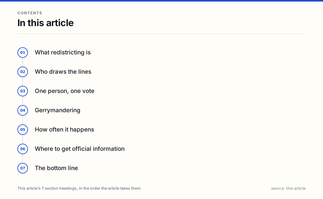
Every ten years, after the U.S. Census counts the population, the lines on the election map get redrawn. That process is redistricting — and because those lines decide which neighbors you vote with, it is one of the most consequential behind-the-scenes steps in American elections.
If you remember one thing: redistricting is redrawing district boundaries after the census so each district has about the same number of people. Who draws the lines varies by state, and the Supreme Court’s “one person, one vote” rule requires districts to be roughly equal in population.
What redistricting is
Districts are the geographic areas that elect a representative — a U.S. House seat, a state senator, a state representative, and others. As people move, the old lines stop representing equal populations. Redistricting resets them.
The U.S. Constitution requires House seats to be reapportioned among the states after each census (states that grow may gain seats; those that shrink may lose them). Once that count is set, the states draw the actual district lines. State legislative districts are redrawn on the same cycle.
Who draws the lines
This is where states diverge sharply:
- In many states, the state legislature draws the lines, often with the governor able to sign or veto the plan.
- A growing number of states use an independent or bipartisan commission to draw at least some maps.
- A few use hybrid models.
There is no single national method. The National Conference of State Legislatures tracks which states use commissions and which use the legislature. The single most important point: the answer is set by your state’s law and constitution.
One person, one vote
The redrawing is not arbitrary. A line of Supreme Court cases requires districts to be roughly equal in population so that each vote carries about the same weight:
- Wesberry v. Sanders (1964) — congressional districts must be approximately equal in population.
- Reynolds v. Sims (1964) — state legislative districts must be as well.
That is the legal engine behind redistricting: after every census, lines must be redrawn so districts reflect current population, not decades-old patterns.
Gerrymandering
When lines are drawn to advantage one side, it is called gerrymandering. Two flavors matter:
- Partisan gerrymandering — drawing lines to favor a political party. Federal courts have generally declined to police this, leaving it to states and the political process.
- Racial gerrymandering — drawing lines to dilute or sort voters by race. This remains subject to the U.S. Constitution and the Voting Rights Act, and courts can still hear those claims.
Whether either occurs, and what can be done about it, depends on the state and the specific map — which is why the topic is litigated case by case.
How often it happens
On the regular cycle, redistricting follows the decennial census — every ten years. But maps can also be redrawn mid-cycle if a court throws out a plan, or if a state’s seat count changes after reapportionment. The triggers vary by state.
Where to get official information
- Your state or local election office — the authority on the district maps where you live; many states also publish maps through a redistricting commission. The EAC’s state lookup points to each office: eac.gov/vote.
- vote.gov — the official federal voting-information site, in place since 2016 and administered by the General Services Administration until the EAC assumed management of the site in 2025; the EAC now operates and hosts it — state-by-state paths.
- usa.gov/voting-and-elections — the federal front door that links to state and local election offices.
- The network’s Voting & Elections topic page collects these explainers, alongside How Midterm Elections Work, How to Register to Vote in the U.S., and What Happens After Election Day.
If which district you live in matters, the map lives at your state or local election office — not in a general explainer.
The bottom line
Redistricting is the once-a-decade redrawing of district lines so each district holds about the same number of people. Who draws the lines — legislatures or commissions — varies by state, and the “one person, one vote” rule required by the Supreme Court keeps districts roughly equal in population. To see the lines where you live, check with your state or local election office or at vote.gov.
Counsel is the law site of the Omni Mundi Compendium network. How federal agencies describe their own role in civic life is covered in What Is America.gov? The New Federal Front Door, Explained.
This article is general information about redistricting in the U.S., not legal advice, and not official voting information. Who draws district lines, commission structures, and redistricting timelines vary by state and can change. Confirm current details with your state or local election office or at vote.gov before relying on them. It is AI-written and independently AI-reviewed before publication; the review standard and this article’s findings are recorded in the network’s editorial review log.
Frequently asked questions
- What is redistricting?
- Redistricting is the process of redrawing the boundaries of election districts so that each district has about the same number of people. It happens after the decennial U.S. Census, because population shifts mean old lines no longer represent equal numbers of residents. The U.S. Constitution requires House seats to be reapportioned among the states after each census; states then draw the district lines.
- Who draws the district lines?
- It depends on the state. In many states the state legislature draws both congressional and state-legislative districts, sometimes with the governor's sign-off. A growing number of states use independent or bipartisan commissions instead. There is no single national method — the rules differ by state.
- What is the 'one person, one vote' rule?
- It is the principle, established by the U.S. Supreme Court, that election districts must be roughly equal in population so that each person's vote carries about the same weight. Wesberry v. Sanders (1964) applied it to congressional districts; Reynolds v. Sims (1964) applied it to state legislative districts. That is why lines are redrawn after every census, when populations have shifted.
- What is gerrymandering?
- Gerrymandering is drawing district lines to give one group an advantage. Partisan gerrymandering favors a political party; racial gerrymandering sorts voters by race. Federal courts generally will not review claims of partisan gerrymandering, but racial gerrymandering remains subject to the U.S. Constitution and the Voting Rights Act. Whether and how either occurs, and what remedies exist, varies by state and by case.
- How often does redistricting happen?
- On the regular cycle, states redraw districts after each decennial census — every ten years. Some states also redraw mid-cycle if a court throws out a map or if a state gains or loses House seats after reapportionment. The timing and triggers vary by state.
- Where do I find my district and its lines?
- Your state or local election office, and often an independent redistricting commission if your state has one, publish the current maps. The EAC's state lookup points to each state office: eac.gov/vote.
Sources
Each source is a primary or official reference, checked before publication. Links open the original.
- National Conference of State Legislatures (NCSL) — 'Redistricting': states draw congressional and legislative districts after the census; some use independent or bipartisan commissions and the methods differ by state — ncsl.org/elections-and-campaigns/redistricting
- U.S. Election Assistance Commission — 'Voter FAQs': explains that districts and the officials who represent you depend on where you live and points voters to state election offices — eac.gov/voters/voter-faqs
- U.S. General Services Administration, vote.gov / USA.gov 'Voting and Elections': the federal front door that links to state and local election offices, which publish district maps — usa.gov/voting-and-elections
- U.S. Supreme Court — Wesberry v. Sanders (1964) and Reynolds v. Sims (1964): established the 'one person, one vote' requirement that congressional and state legislative districts be roughly equal in population — supremecourt.gov